Drone surveying
See the whole
site from above.
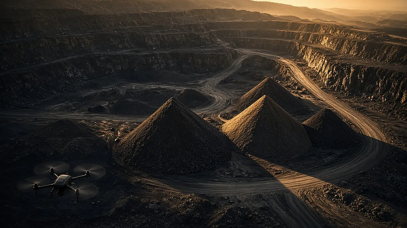
One flight, one agent. SURVEY reads drone imagery and posts what changed to the site group: stockpiles, benches, boundaries, stressed rows.
Specialist agents
The agents
on this job.
SURVEY
Drone survey agent
Stockpiles, pits, field boundaries, crop stress from aerial shots.
VisionGEO
Pit geologist agent
Grade control, drill-and-blast, benches. Gold, lithium, chrome.
Tool calling · ops cardsAGRO
Agronomist agent
Tobacco seedbeds and barns, maize and fall armyworm, horticulture, irrigation.
Vision · ops cardsWhat SURVEY reads
From pixels
to actions.
MINING
Stockpiles & benches
Rough volume trend between flights, bench edges, haul road condition.
FARMS
Boundaries & stress
Field outlines, gaps in stand, irrigation misses, stressed rows.
HONEST
Know the limits
A single photo gives rough estimates. Survey-grade volumes need a proper photogrammetry pass; SURVEY says which is which.
Live · SURVEY · xAI Grok
Talk to SURVEY.
Upload a drone or aerial shot of a pit, stockpile or field.
Drone survey agent. Tools are demo mocks on synthetic data; nothing is sent.
Next step
See it on
your site.
Tell us how your teams report today. We will show you the loop running on it.